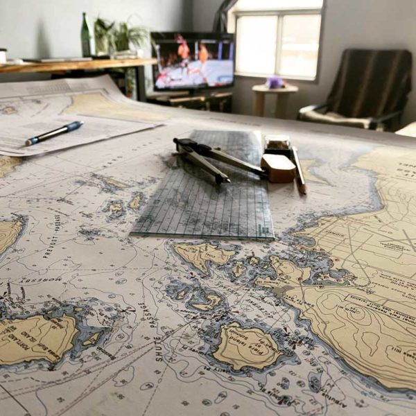
2021 has been in interesting year for all of us. There is not a single person on this planet that can say the state of the world and pandemic hasn’t shaped their lives in some shape or form. Personally I allowed my dreaming get the best of me while locked away in my little loft in Inglewood, Calgary. I started romanticizing the possibility of an alternative life. I’ve always done things a little differently to begin with, so why change now.
I set my time to the 24 hour clock and started my first on hopefully many lessons in understanding how to read nautical charts. Ironically, I live in a land locked province, but it’s a good opportunity to learn the theory behind it. Sailors navigated the great oceans long before we had electronics to aid them and I wanted to understand the numbers and logic behind these navigational charts.
Coastal “road maps” perform a much different purpose from what we understand with land road maps, as they are here to help us steer away from potential hazards. We use longitude, latitude, and a compass the help us navigate safely through all kinds of situations. The maps help us identify aids to navigation and it’s up to us to understand magnetic heading, compass heading, variation, and deviation to draw and path for the boat. This is in a perfect scenario setting, we also have to consider so many aspects and we can get into that later.
In the long short of things, the lockdown wasn’t completely lost on me. The ocean has always remained close to my heart and now I’m learning how to navigate it. I have set this lifestyle as my plan B with the potential of spending some time on a boat in warm waters. It’s an interesting learn and sailing is something special.


